1861
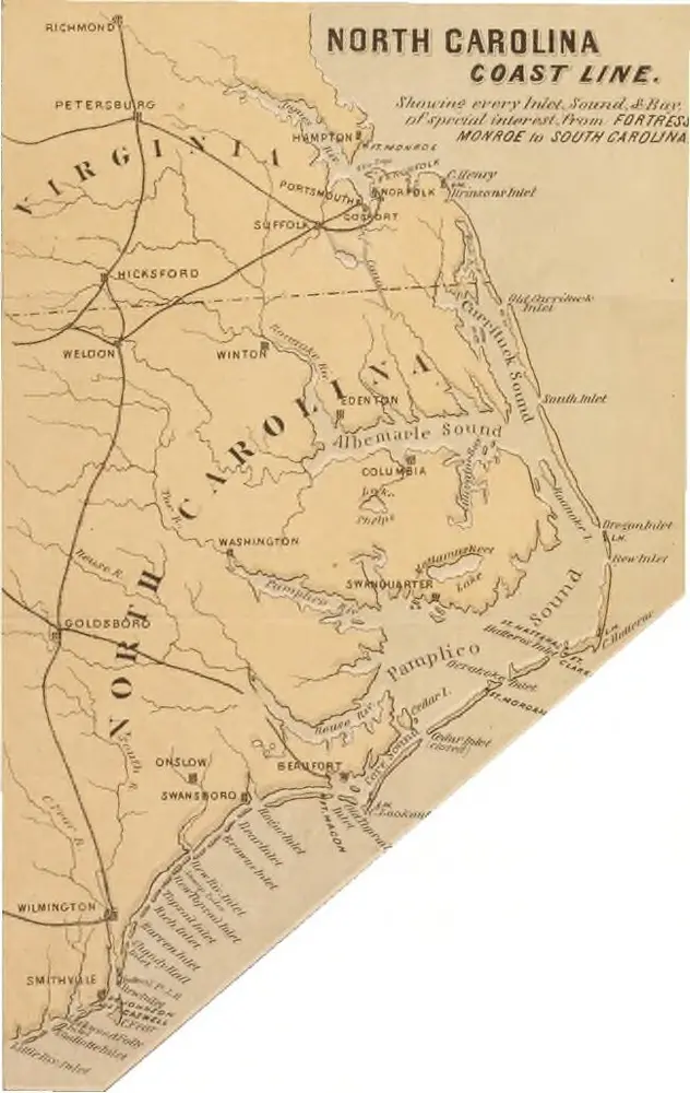
1865
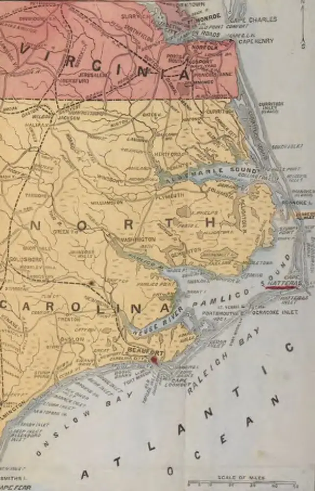
L. Prang & Co.
1875
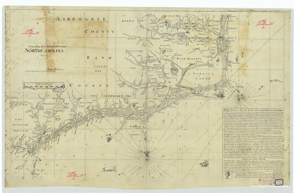
James Wimble
1:1m
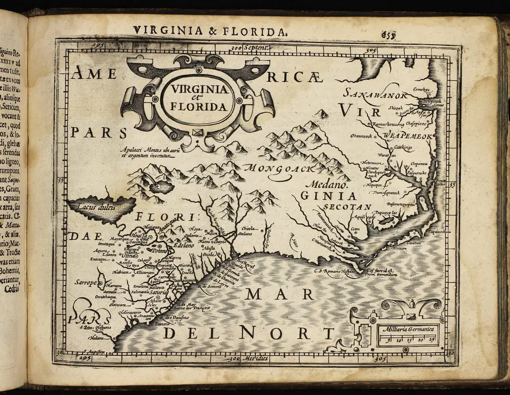
1610
Mercator Gerhard
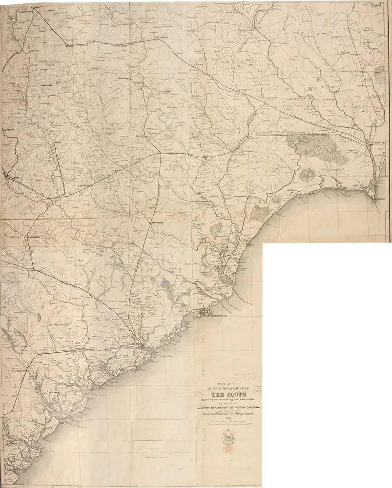
1862
1794
Morse, Jedidiah
1:2m
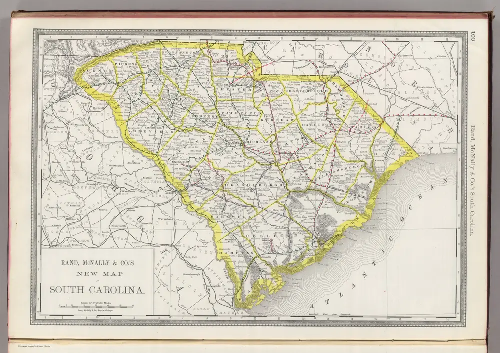
1889
Rand McNally and Company
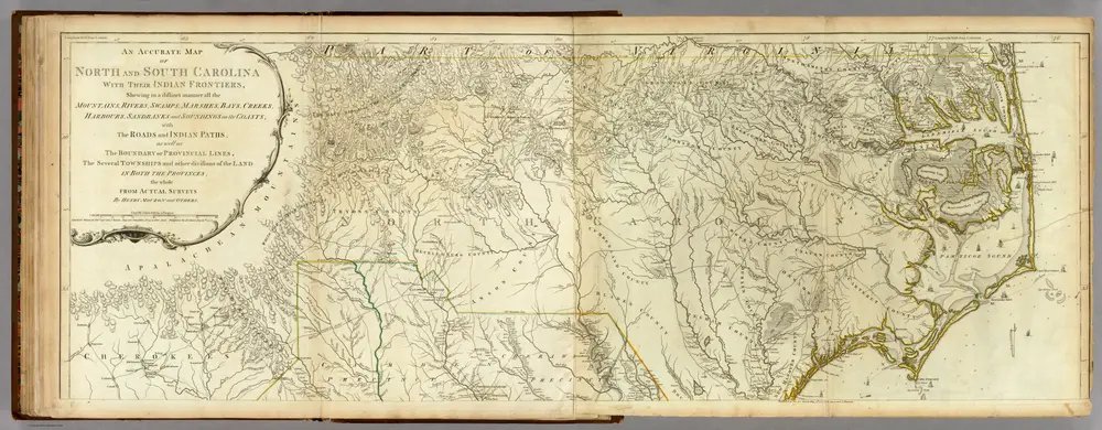
1776
Jefferys, Thomas
1:530k
1860
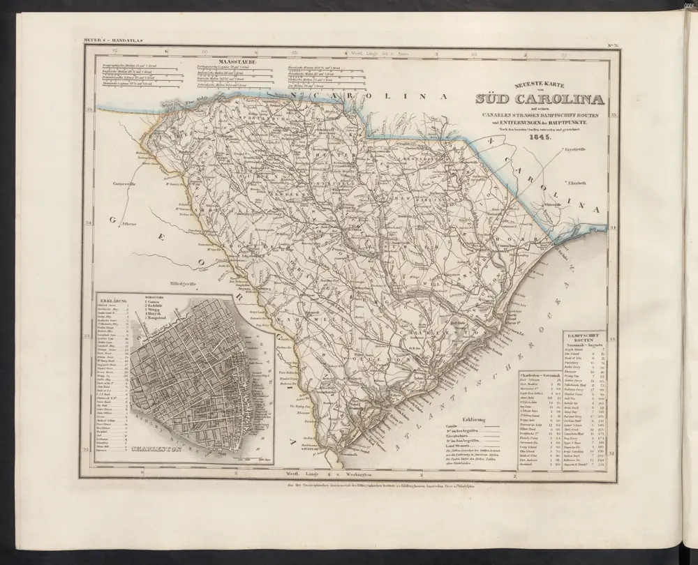
Meyer, J.