Maps of Piotrkówek Mały
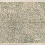 1873|Militärgeographisches Institut1:300 000
 1873|Militärgeographisches Institut1:300 000
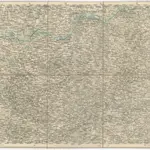
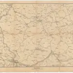 1870|S. Hirzel1:800 000
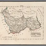 1829|Hermann, O.1:430 000
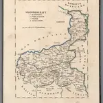 1829|Hermann, O.1:430 000
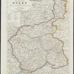 1831|Entworfen und gezeichnet von Dr. F.W. Streit
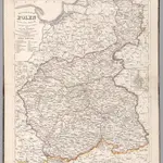 1846|Stein, Christ. Gottfr. Dan.1:260 000
Old maps of Piotrkówek Mały
Discover the past of Piotrkówek Mały on historical maps
Old maps of Piotrkówek Mały
Discover the past of Piotrkówek Mały on historical maps
Looking for a Google Maps API Alternative?